A Guide to Subdividing your Property.
The Subdivision Process
Whatever the size of your development, a subdivision has multiple set processes. Coterra’s in-depth local knowledge and vast experience enables us to navigate these in an efficient and timely manner.
Part 1. Planning for the Subdivision
- Desktop research – District Plan rules, infrastructure availability
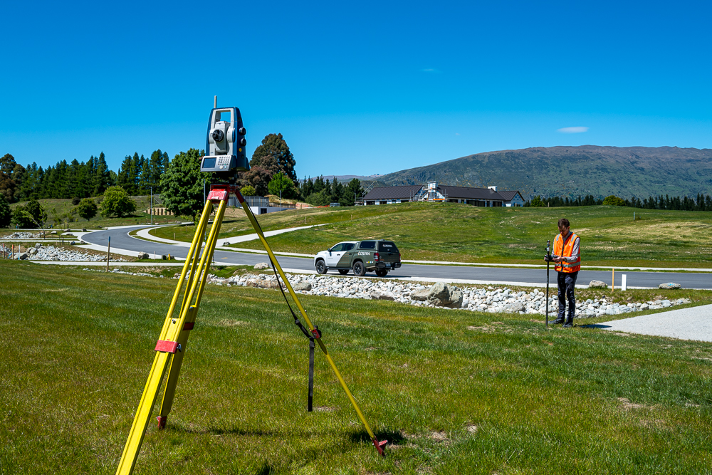
- Site survey, aerial photo if required.
- Prepare scheme plan of proposed boundaries.
- Involve other professionals if required. Landscape Architect, Engineer (geotech, flooding, traffic, wastewater, contaminated soil)
- Engage with neighbours, Iwi and other.
- Prepare infrastructure report which details services and access.
- Prepare and submit subdivision application.
Timeframe
The time for Council to process a subdivision application will vary between one month and six months. Most applications are processed in 4-6 weeks. More complex applications may require notification and a Council hearing, which leads to a longer timeframe.
Once a subdivision consent is approved, then the project has certainty, and we know what Council’s specific conditions for completing the subdivision are.
Part 2. Meeting the Subdivision Conditions
- Design new infrastructure and apply for Council approval (Engineering Acceptance)
- Establish and supervise a construction contract with Civil Contractors
- Set out of new roads and pipelines. Record asbuilt positions of underground services.
- Supervise physical works to ensure environmental, Council and client requirements are met.
- Project management which involves liaison between contractor, client and Council
Timeframe
The time for completing the subdivision conditions varies with each unique set of circumstances. Some consents may have no conditions, while others may require extensive civil construction works.
Part 3. Completing the Subdivision
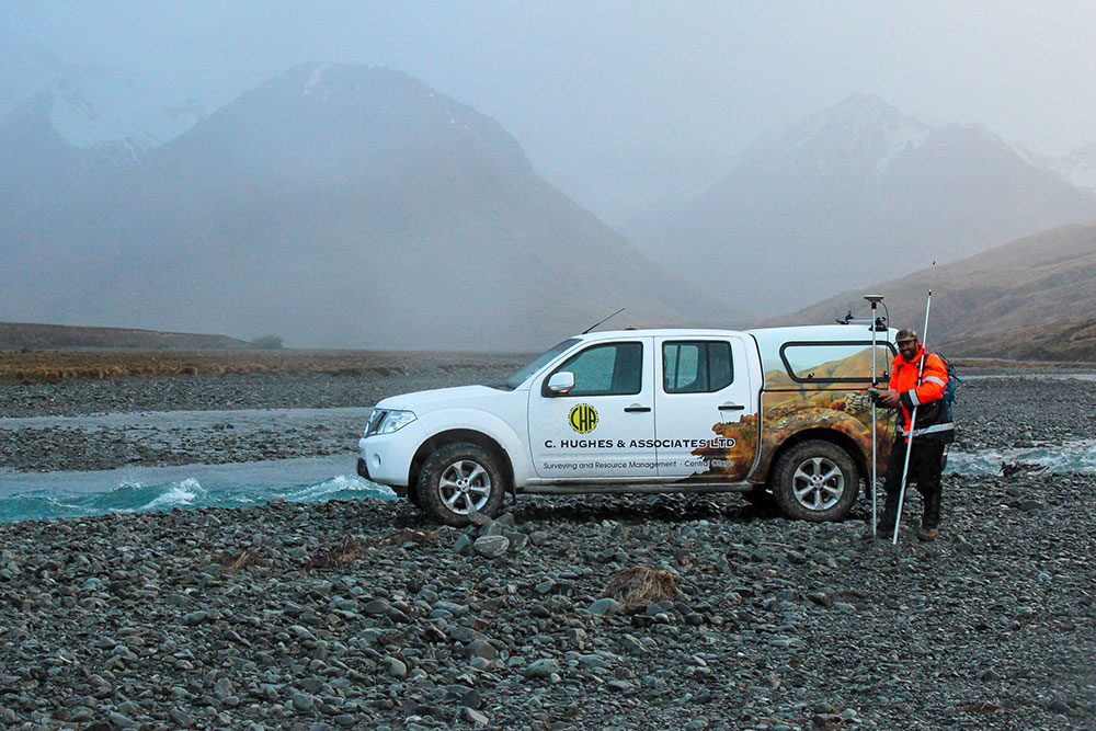
- Cadastral survey of the property. This requires measurements to existing survey benchmarks and establishes the external boundaries of property. All new boundary points are then marked with boundary pegs.
- Prepare title sheets of the cadastral survey dataset which defines all new and existing property boundaries and easements.
- Apply for Council sign offs. 223 certificate (this confirms boundaries and easements are the same as consented.)
- 224c certificate (this confirms that all conditions of subdivision consent have been met, and that Council development contributions have been paid.)
- Liase with solicitor and Council staff to ensure all legal elements of the subdivision consent have been addressed.
- Complete and submit cadastral survey dataset to the Government’s “Landonline’ land database operated by LINZ. This includes details of survey measurements between reference points and boundary marks, a comprehensive survey report and calculation sheets.
- Solicitor applies for the new titles and the subdivision is complete.
Timeframe
The time to complete the cadastral survey varies depending on the size of the property, the age of the underlying boundaries and the vegetation on the property. Many surveys are completed with one or two fieldwork days, and then a week or two of office work to process the data.
Typically, the Council signoff process takes 4-6 weeks. LINZ then will take a further 4-6 weeks to validate our survey dataset and issue the new titles.